

Overview
Beginning in 2006, I designed and developed FlashMap, an interactive mobile mapping experience for Japanese feature phones using Adobe Flash Lite and ActionScript. Before Apple's iPhone and Android smartphones entered the market, FlashMap allowed users to explore Tokyo subway networks, neighborhoods, restaurants, and businesses through animated scrolling, zooming, and keypad navigation. Accessible through mobile web links on compatible NTT DoCoMo, KDDI (au), and SoftBank phones, FlashMap delivered interactive navigation without requiring users to install a separate application.
PRODUCED
2005-2012
COMPANY
AMU Mobile, Tokyo, Japan
COLLABORATION
Product Design
Development,
Japanese Business Partners
THE PROBLEM
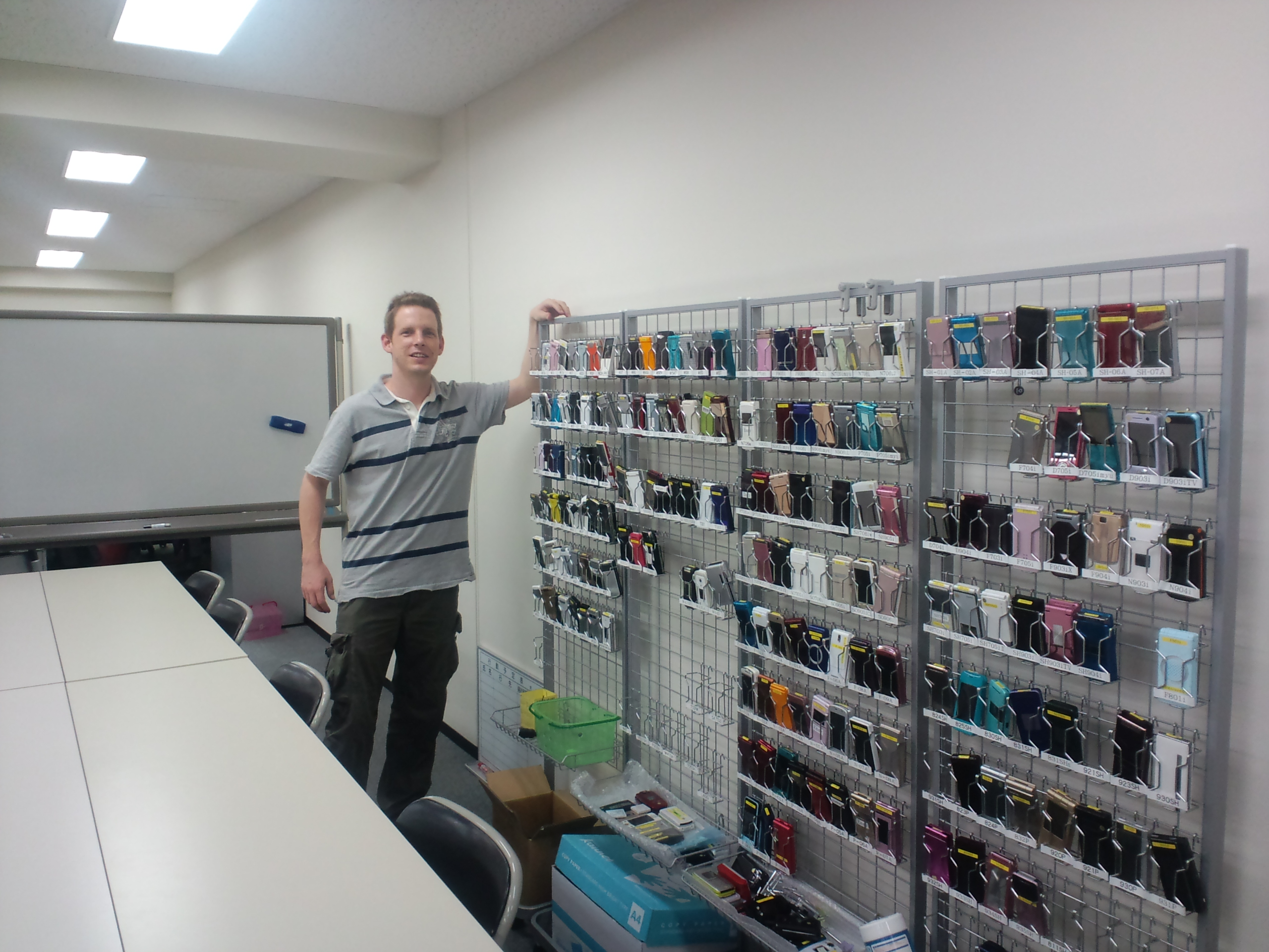
Mobile mapping in Japan often relied on static images and repeated page requests. To navigate north, south, east, or west, users selected directional links and waited for another map image to download. Japanese mobile customers also paid packet-based data charges. Repeated downloads increased costs and interrupted the experience. Carrier-specific navigation services presented additional compatibility challenges. The goal was to create an accessible, interactive mapping experience across multiple Japanese carriers while reducing unnecessary network requests and associated packet fees.
MY ROLE
As Mobile Product Design Manager and Principal Designer at AMU Mobile, I conceived, designed, and programmed FlashMap's interactive user experience. I developed the navigation model, designed the visual interfaces, and implemented ActionScript functionality for animated map movement, zooming, keypad controls, and selectable location markers. I also worked on integrating dynamic business information and adapting the experience for the technical limitations of Japanese feature phones.
PROCESS
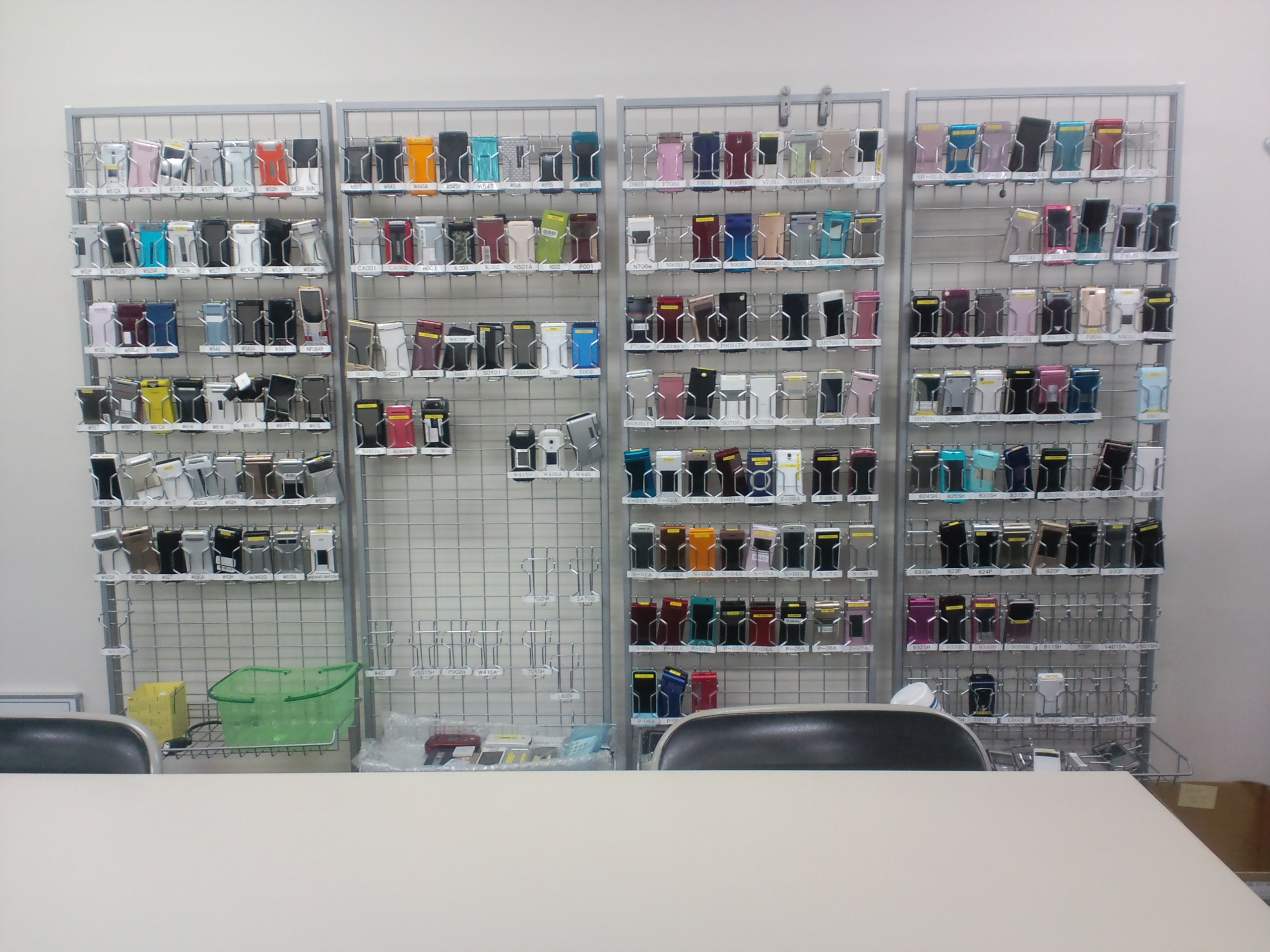
I developed FlashMap around the limitations of early mobile devices, including small screens, restricted memory, limited Flash Lite file sizes, and costly mobile data transmission. Using ActionScript, I implemented a larger map image moving behind a fixed viewport, allowing users to scroll smoothly across neighborhoods without repeatedly requesting new map pages. I developed keypad interactions for directional navigation, zooming, and selecting points of interest. The experience also supported location-based entry from cHTML mobile pages, allowing users to open a map centered around a relevant station or neighborhood. I tested and refined the experience across compatible Japanese mobile devices.
DESIGN
FlashMap included several connected experiences.
Tokyo Subway Maps
Interactive railway maps with animated scrolling and zooming, allowing users to explore station networks without repeatedly downloading separate map images.
Tokyo Neighborhood Maps
Street-level maps covering areas such as Harajuku, Omotesando, Shibuya, and other Tokyo neighborhoods. Users explored nearby locations using their phone's numeric keypad.
Business Discovery
Selectable markers provided access to restaurants, shops, and other businesses. The experience supported dynamic business information, including restaurant details, menus, and telephone links.
Hot Pepper Pockets Integration
FlashMap incorporated business information associated with Recruit's Hot Pepper service, allowing users to explore nearby restaurants and access additional information from the map interface.
OUTCOME
FlashMap delivered a working interactive mapping experience for compatible Japanese feature phones across NTT DoCoMo, KDDI (au), and SoftBank. By allowing users to navigate within a compact downloaded map, the experience reduced the need for repeated static-map requests and addressed a major usability and cost concern in Japan's packet-based mobile environment. The project combined mobile interaction design, ActionScript programming, location-based services, and dynamic business information before modern smartphone mapping experiences became widespread.